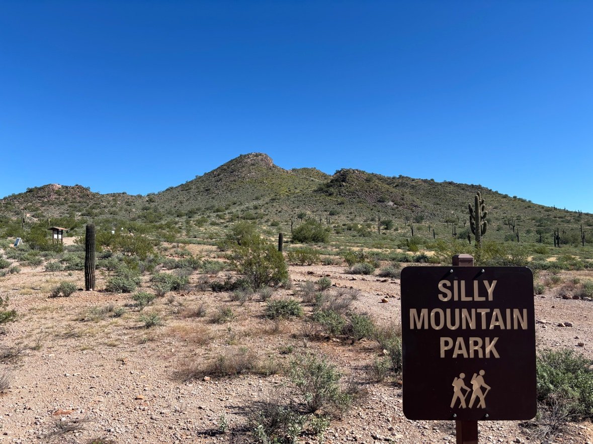
Every town needs a first hike, the one you send visitors to. Ours is Silly Mountain.
It’s free, with drive-up parking off Silly Mountain Road near US-60, on the way to Gold Canyon. Open sunrise to sunset. The trails are short — up, around, and back down before the day gets hot.
Built by the neighbors
The mountain wasn’t always a park. Off-road vehicles had torn it into what the park’s own sign calls a “moonscape.”
The city leased the land from the Bureau of Land Management in 2006. The Superstition Area Land Trust (SALT) helped design a trail system. Then the neighbors showed up — businesses, community groups, an army of volunteers — and transformed the place in about three months.
Restoration is still going on. The desert’s living soil crust can take a century to grow back, which is why the signs ask you to stay on trail. In 2011, SALT, the city, area businesses, and a Nina Pulliam Foundation grant added the Botanical Walk.
The trails
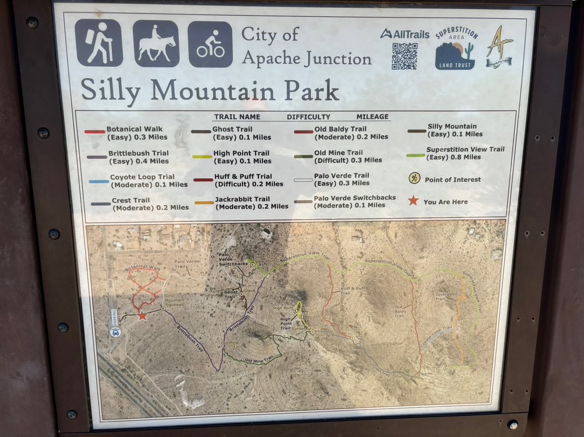
The map at the trailhead lists 14 trails, about 3.5 miles in all. They link together — make the hike as short or as long as your legs want.
Easiest first:
- Botanical Walk (0.3 miles, easy). A flat, ADA-accessible loop past 280+ labeled native plants. Start here to learn the desert’s names.
- Superstition View Trail (0.8 miles, easy). The park’s longest trail, and it pays you back the whole way.
- Brittlebush and Palo Verde (0.4 and 0.3 miles, easy). Good desert wandering. Junctions are marked with wooden signs and maps.
Two trails earn the “difficult” rating, and both are short:
- Huff & Puff (0.2 miles). The name is honest. It goes straight up to a 360-degree view.
- Old Mine Trail (0.3 miles). Passes the old mine. Also out there: a grave site near the Ghost Trail, Sunset Saddle, Meditation Point, and Kings Crown. Small discoveries, spread around a small mountain.
The view
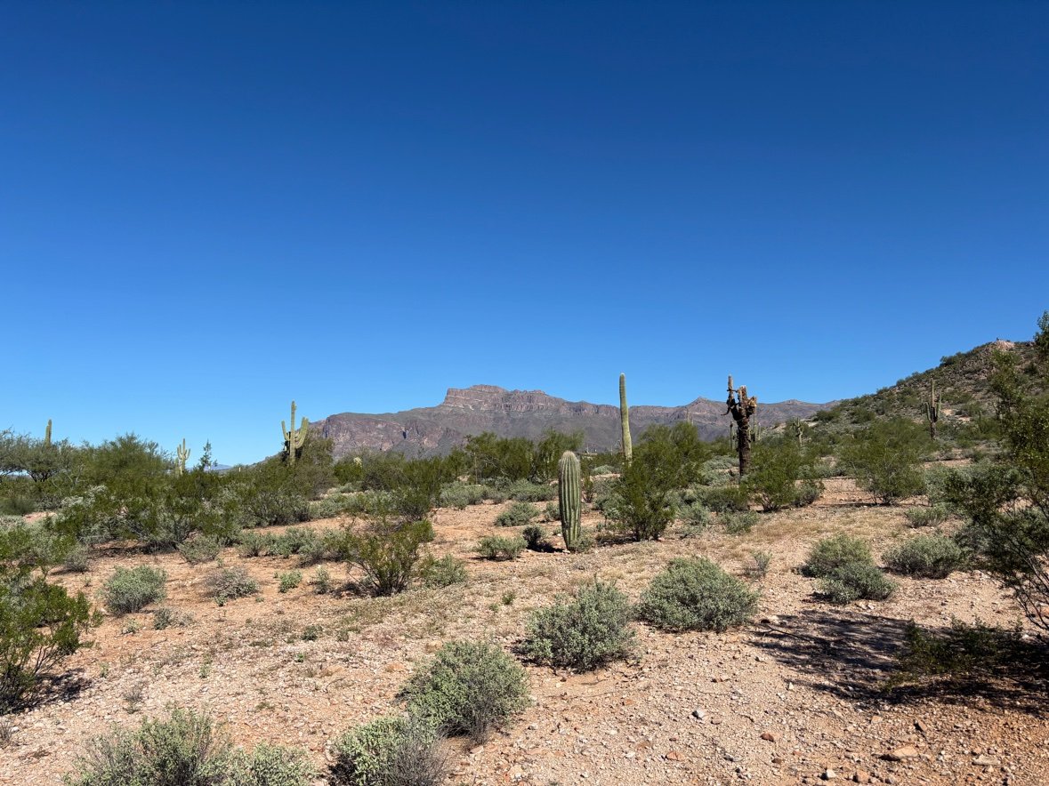
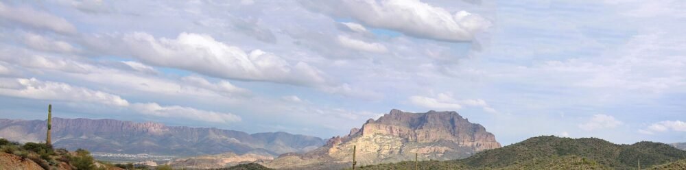
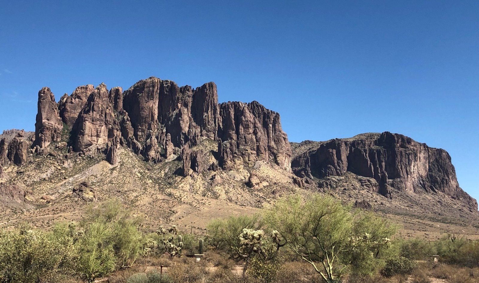
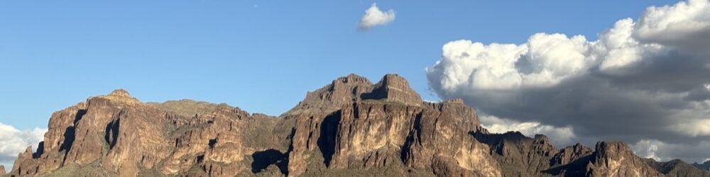
From the east side, the whole Superstition front range fills the horizon. That’s the trade: a short climb for a big view. On a clear morning, Four Peaks shows up far off to the left.
Watch on the way. The regulars: desert cottontail, jackrabbits, coyotes, Gambel’s quail, roadrunners, collared lizards. The lucky list: Gila monsters, desert tortoises, bobcats, bighorn sheep.
Know before you go
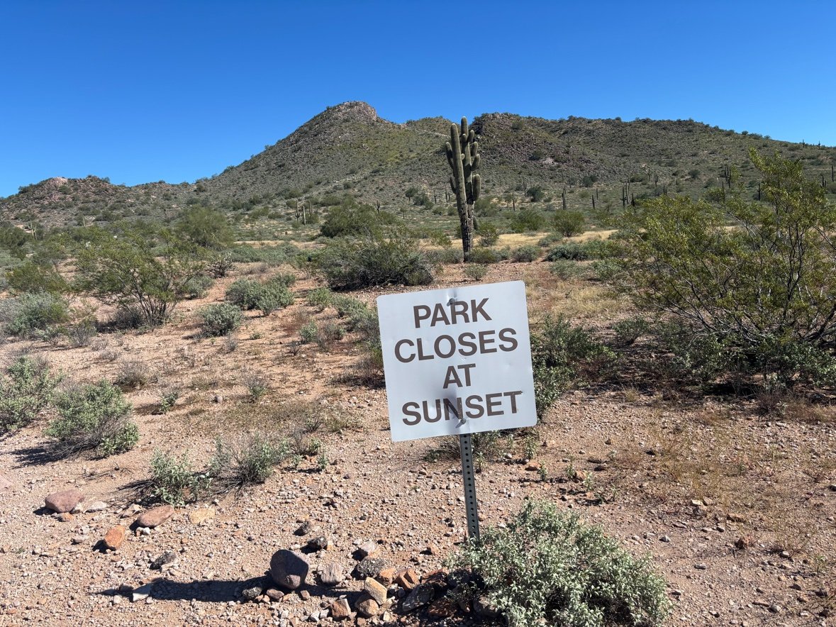
- Hours: sunrise to sunset. The gate sign is not kidding.
- Water: none on the trails. Bring all of yours.
- Restroom: a vault toilet at the trailhead — clean when we visited in November 2026.
- Who’s welcome: hikers, runners, mountain bikers, and horses. No motorized vehicles.
- Stay on trail: the restoration areas are marked, and the crust under them is older than all of us.
- Weekend tip: there’s often a sno cone truck in the lot on weekends — the correct way to end a desert hike.
— Frank Andrix